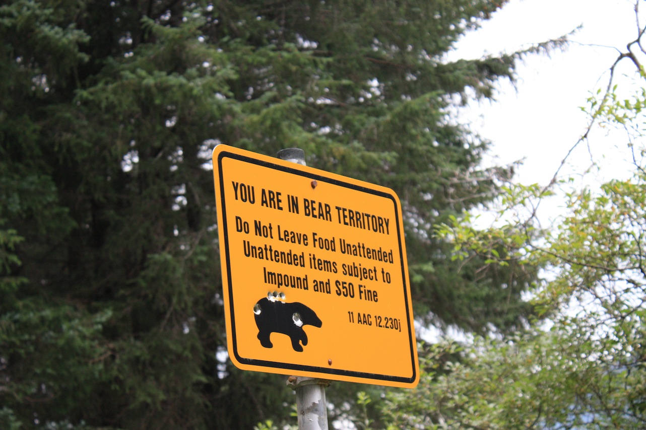
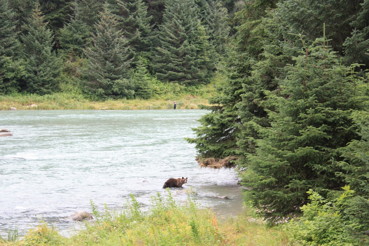
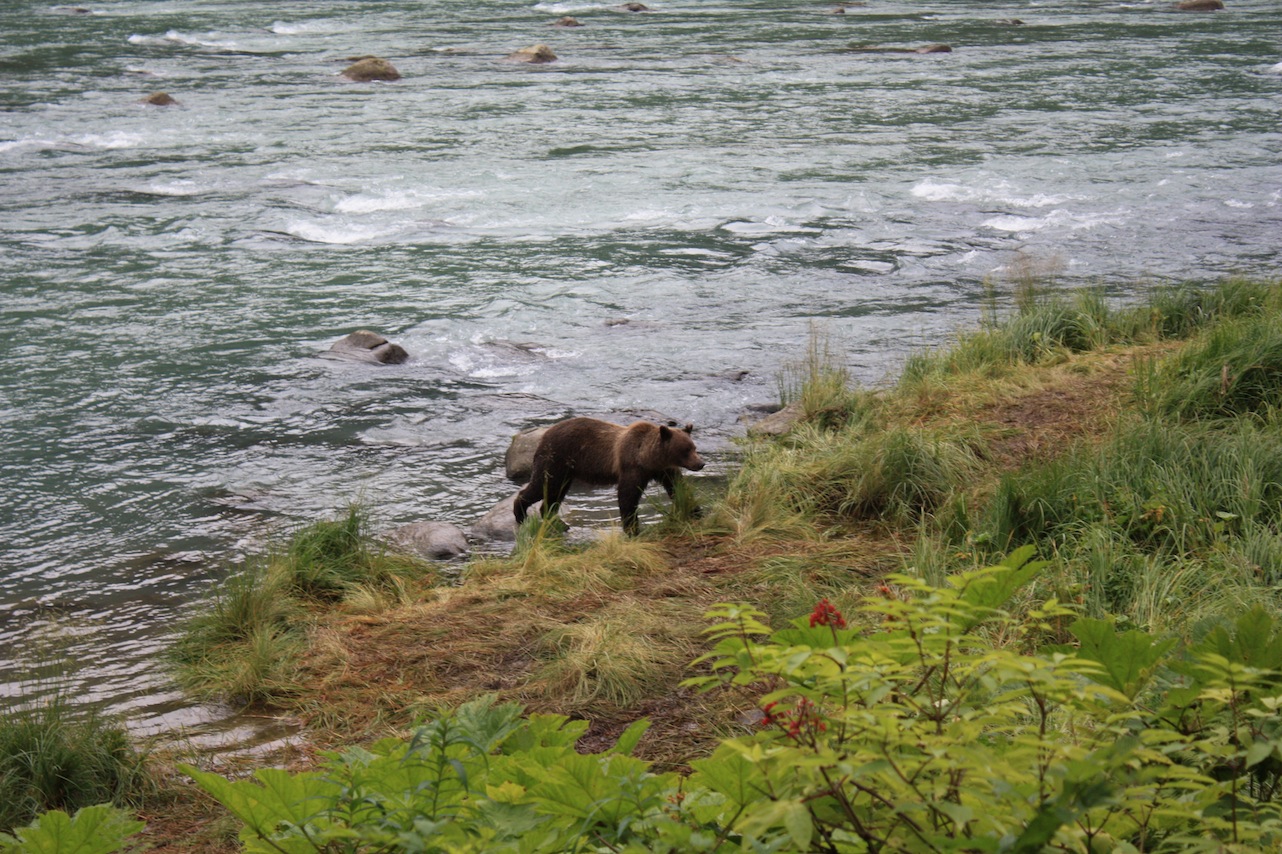
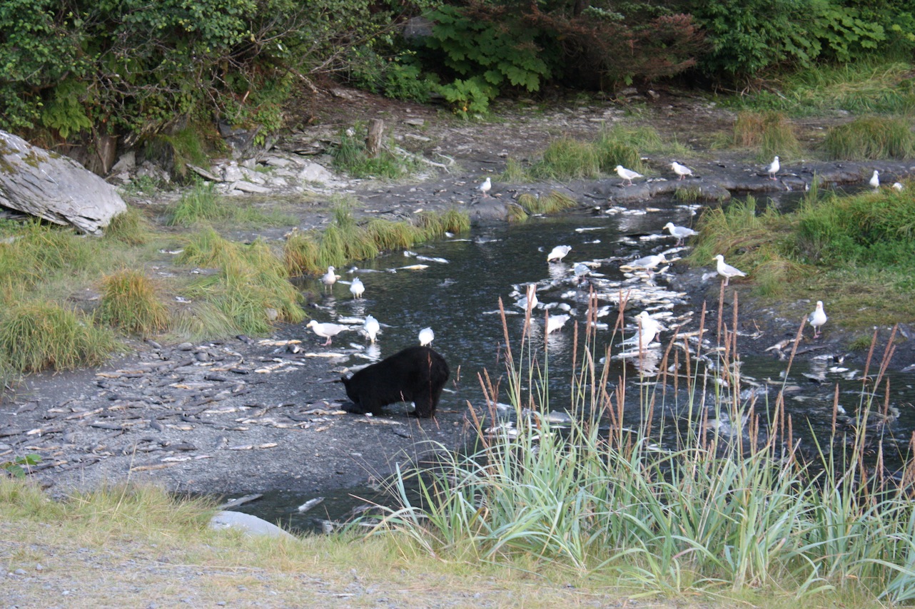
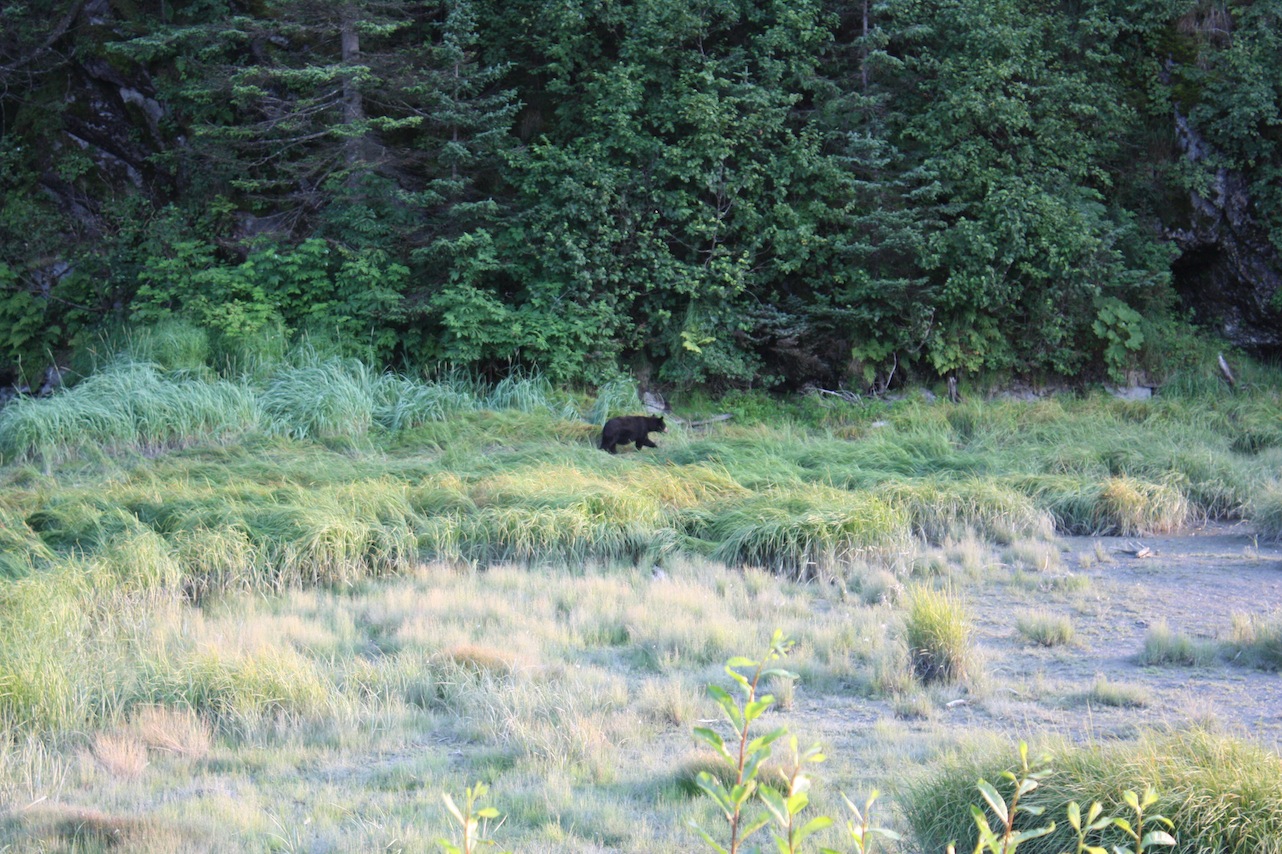
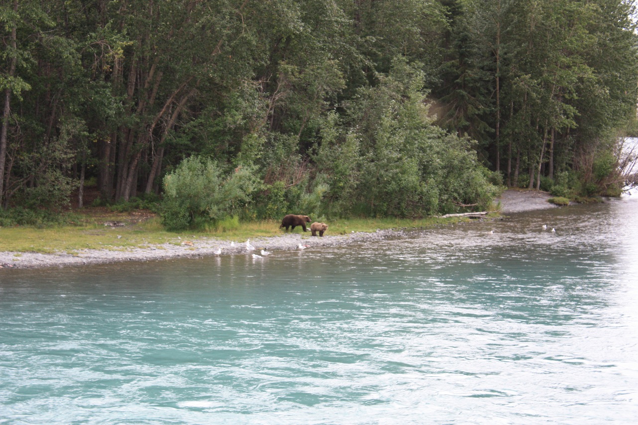
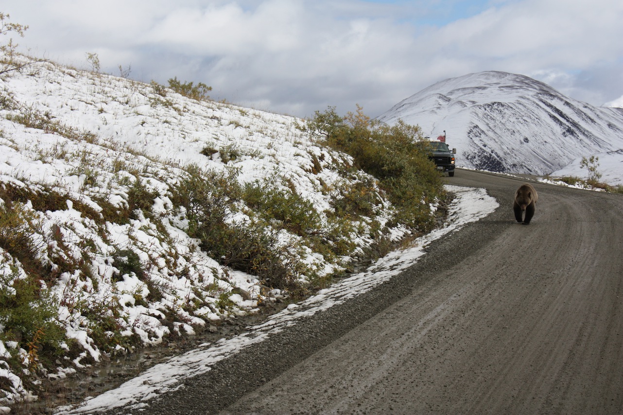
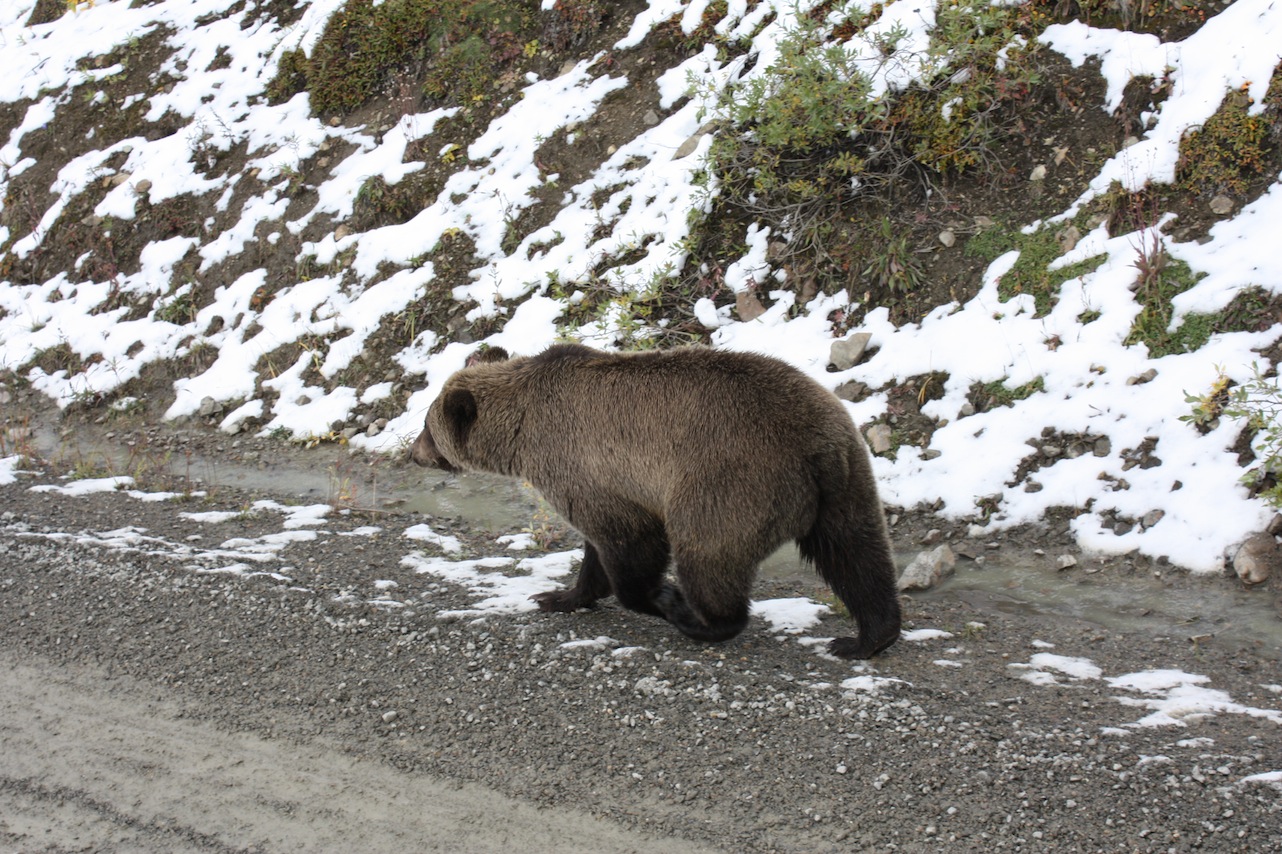
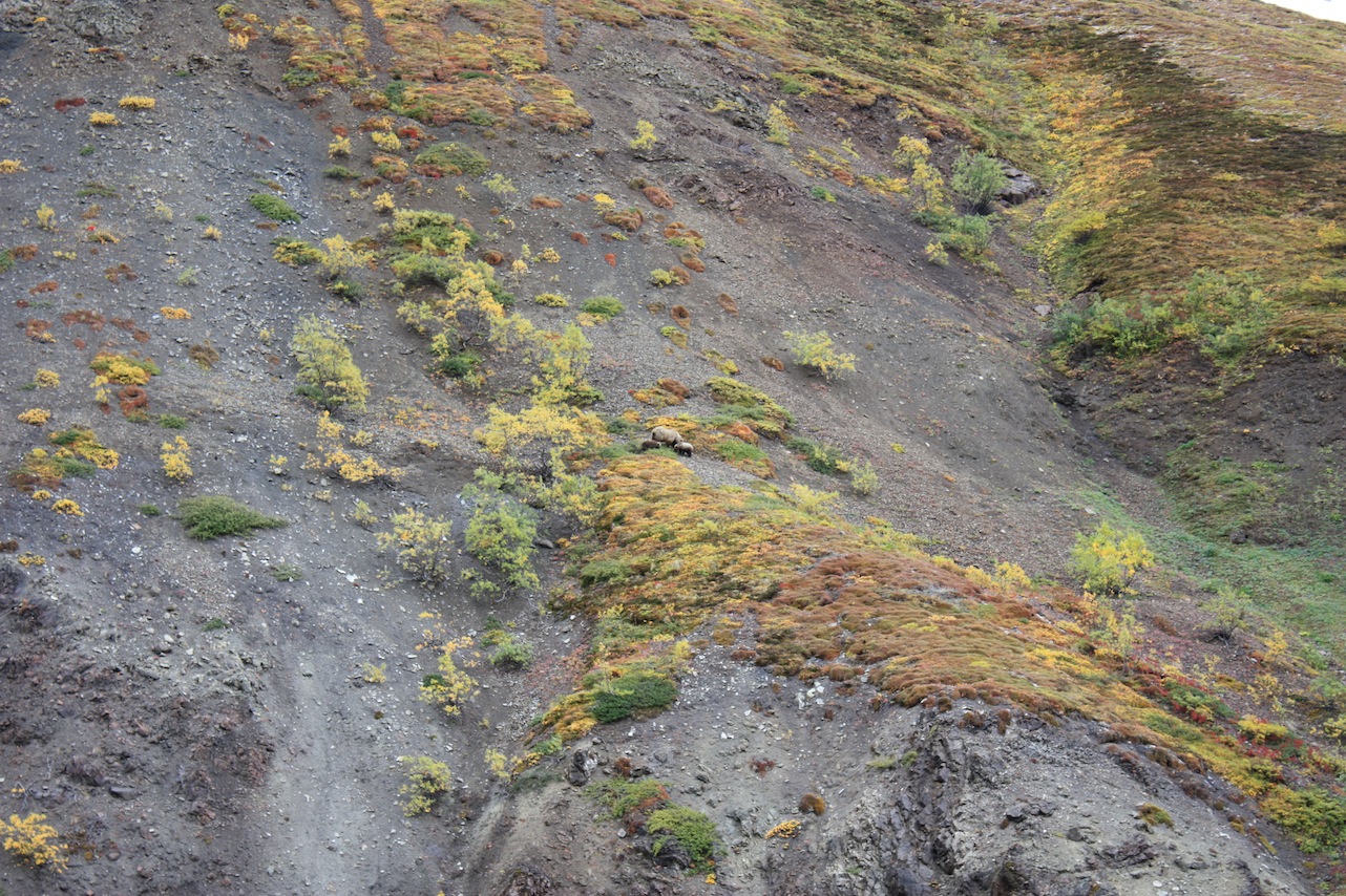
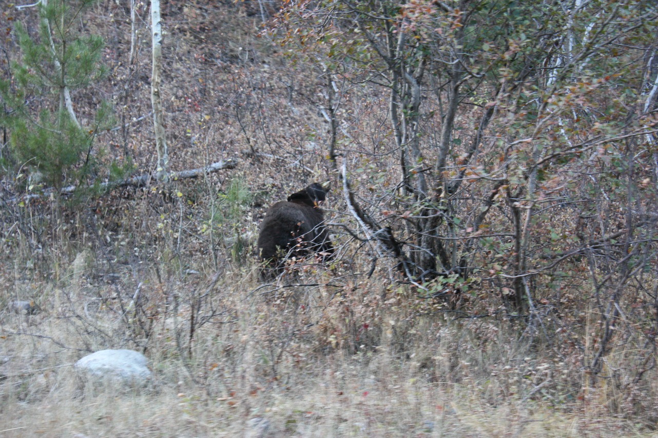
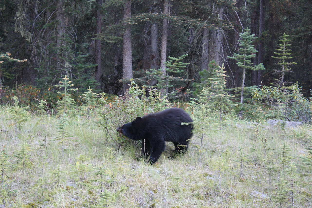
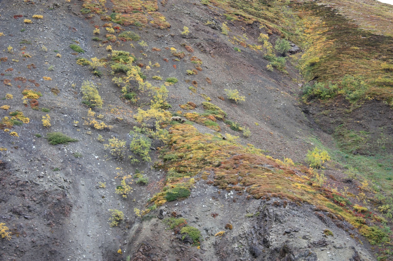
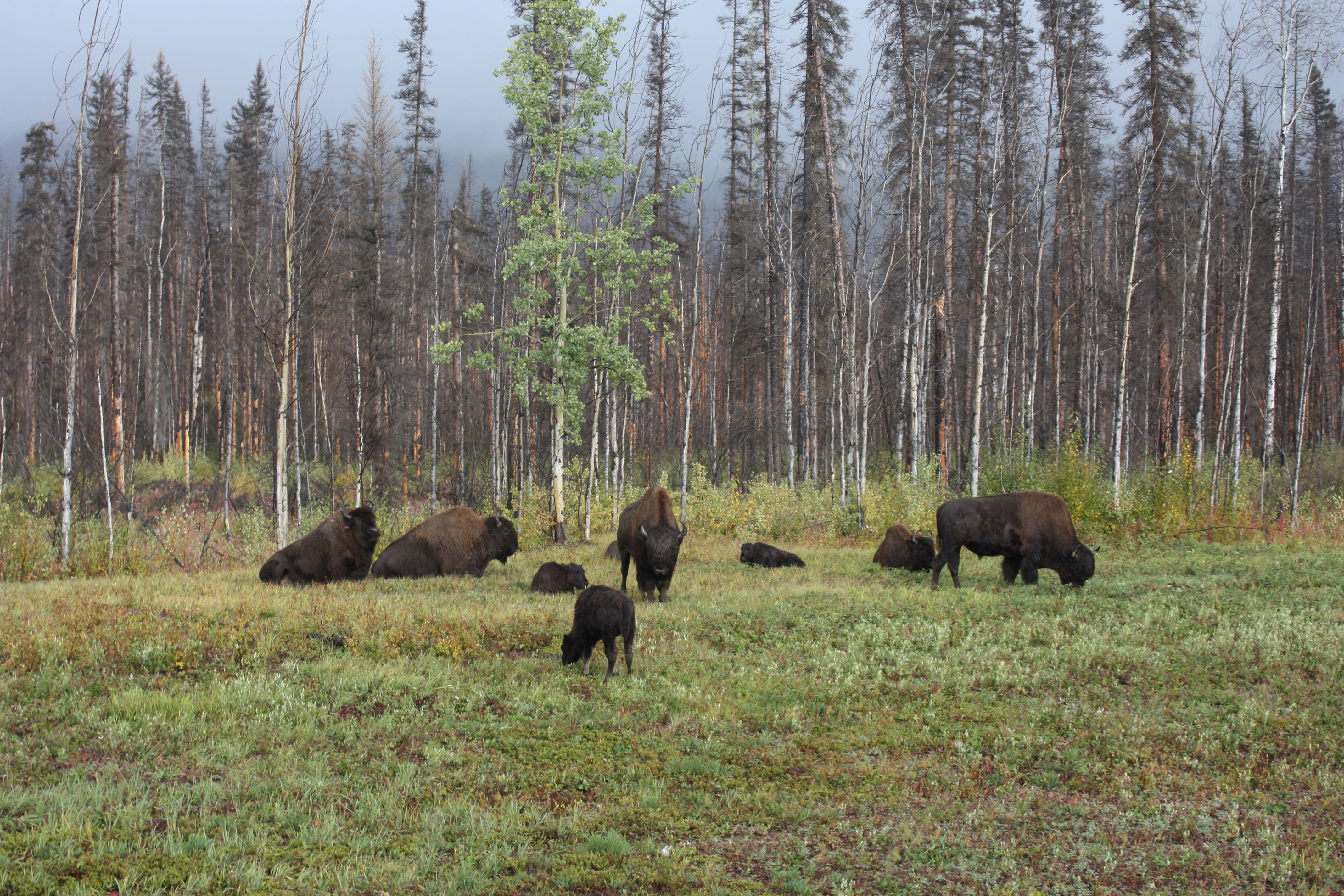
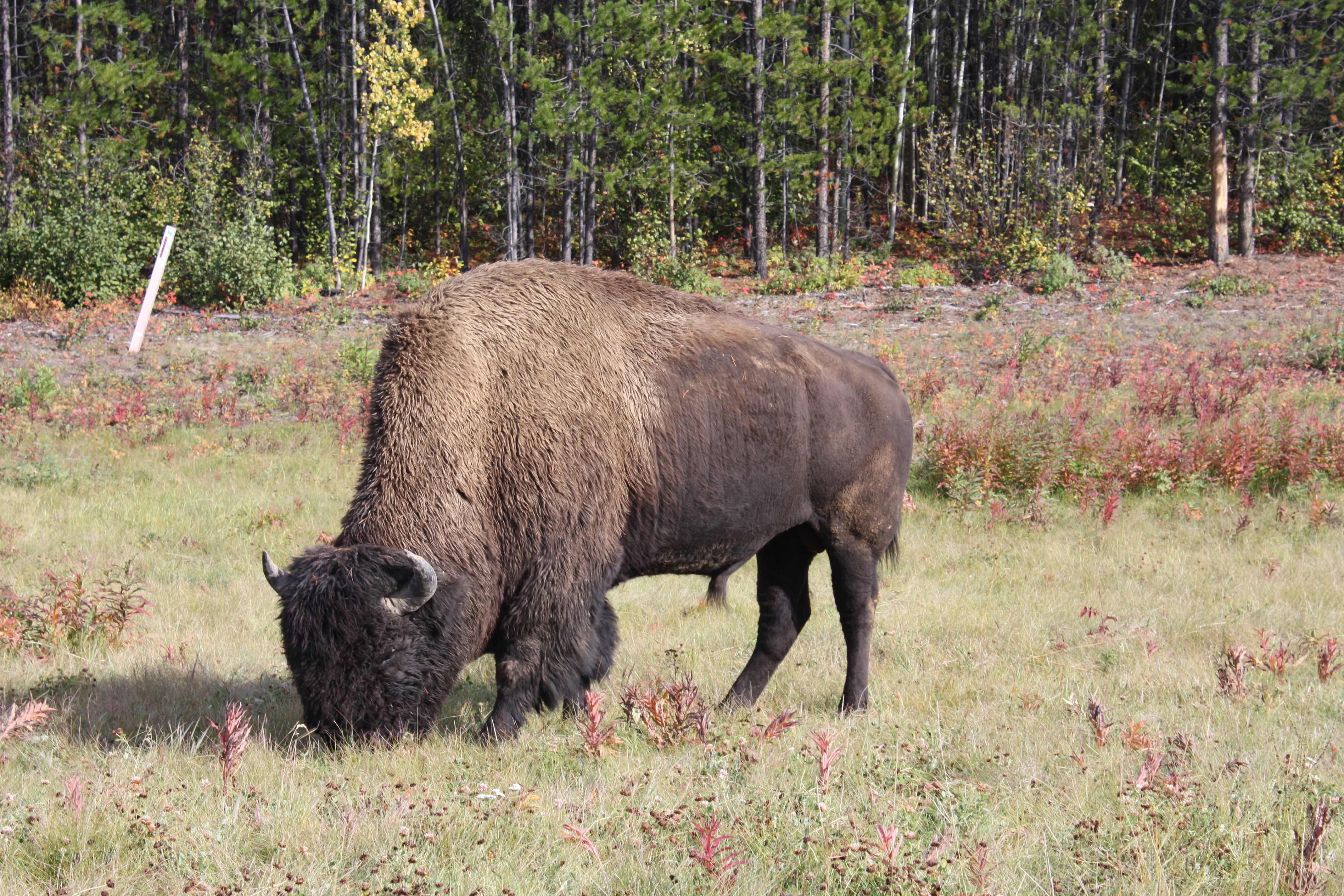
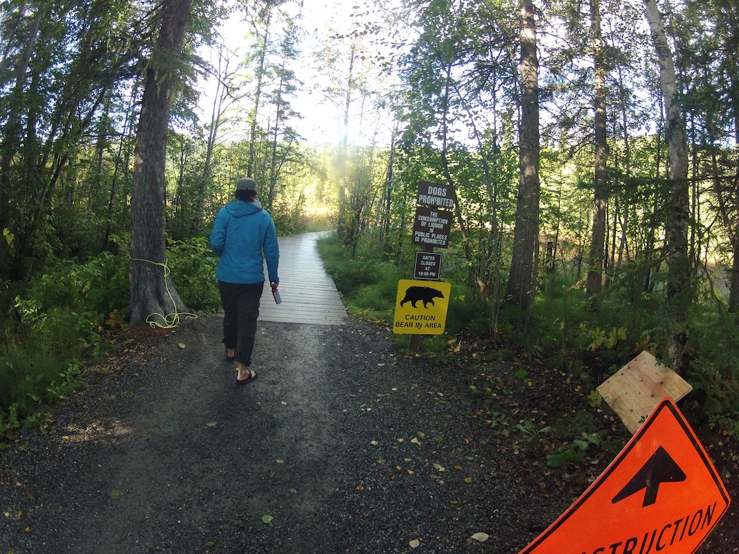
We are finally slowly moving out of ‘bear country’ … Here are some pictures of bears we have seen so far.
Bears Bears Bears
Reply

We are finally slowly moving out of ‘bear country’ … Here are some pictures of bears we have seen so far.

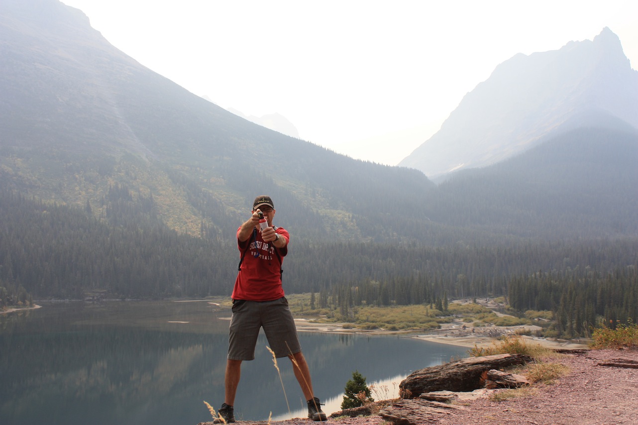
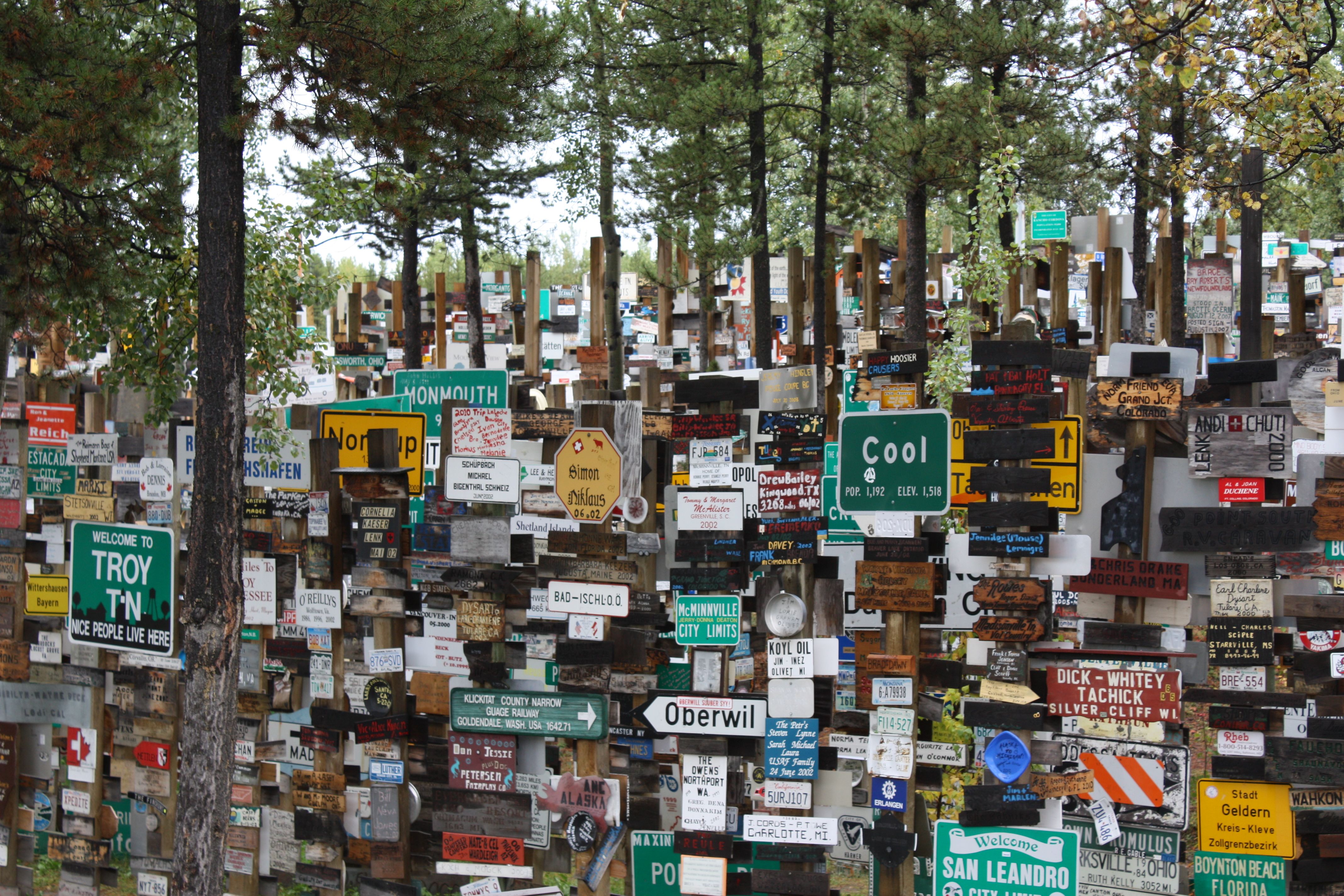
We hopped on the Alaska Highway in Yukon and drove it into British Colombia. The Alaska Highway was built during World War II to connect the contiguous US to Alaska. On the highway George and I experienced our first deep freeze of the tent, saw plenty of wildlife, toured through a signpost forest, and took a dip in some hot springs.


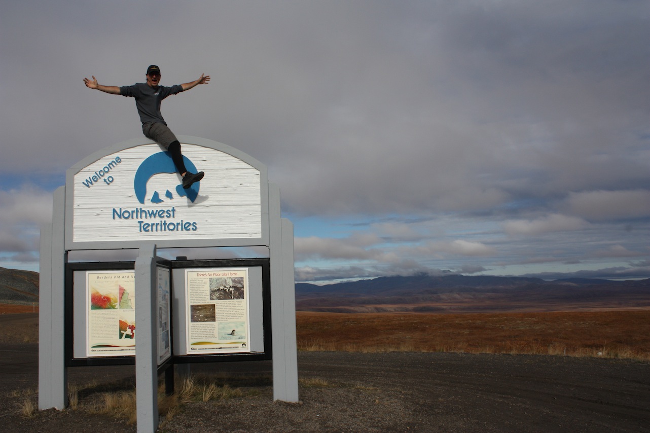
On September 3rd, after 1 month of slowly travelling North we finally reached the Arctic Circle. The Arctic Circle is the parallel of latitude that runs 66° 33′ 44″ north of the Equator. North of the Arctic Circle, the sun does not set for 24 hours at least once per year and does not rise for 24 hours at least once per year.

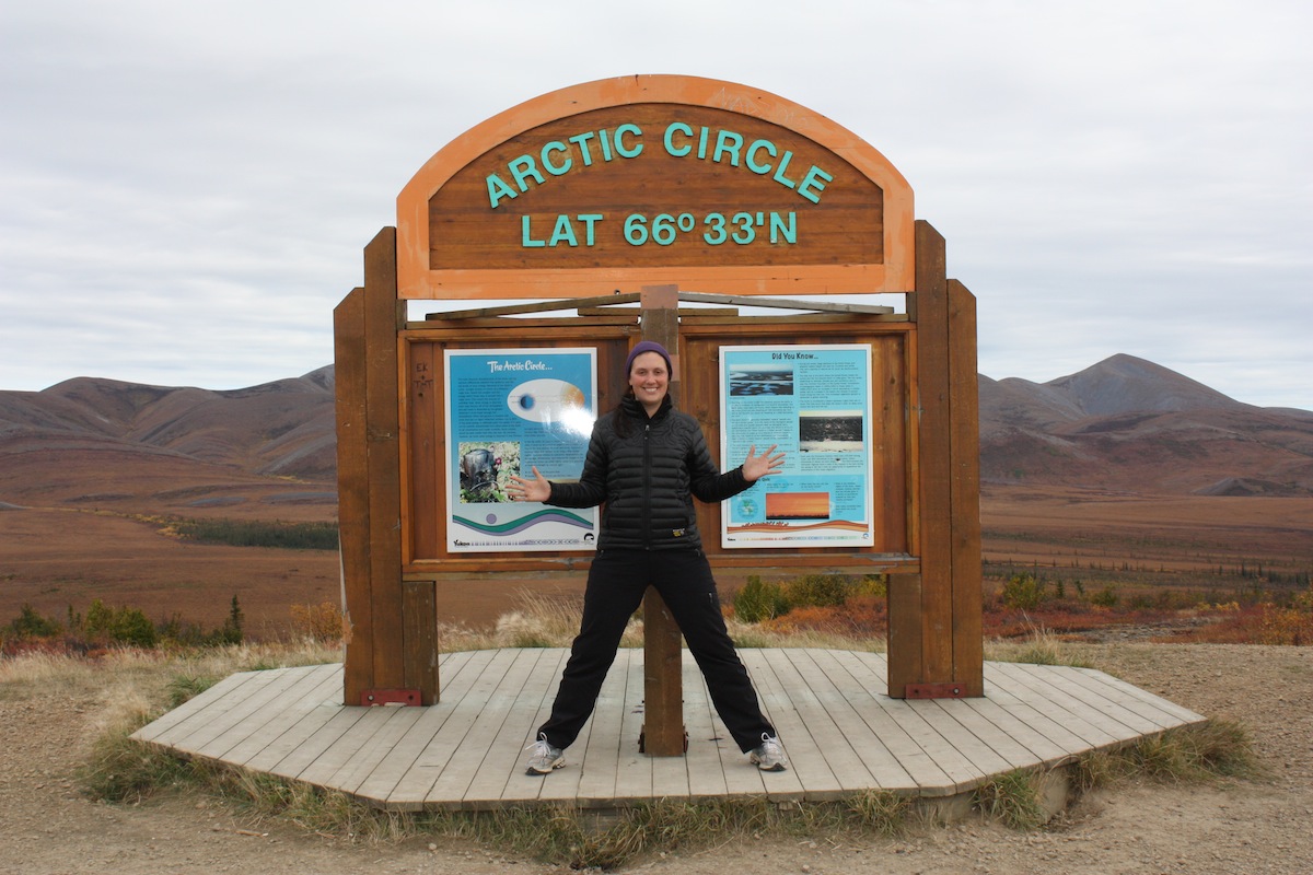


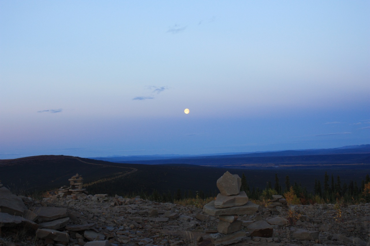
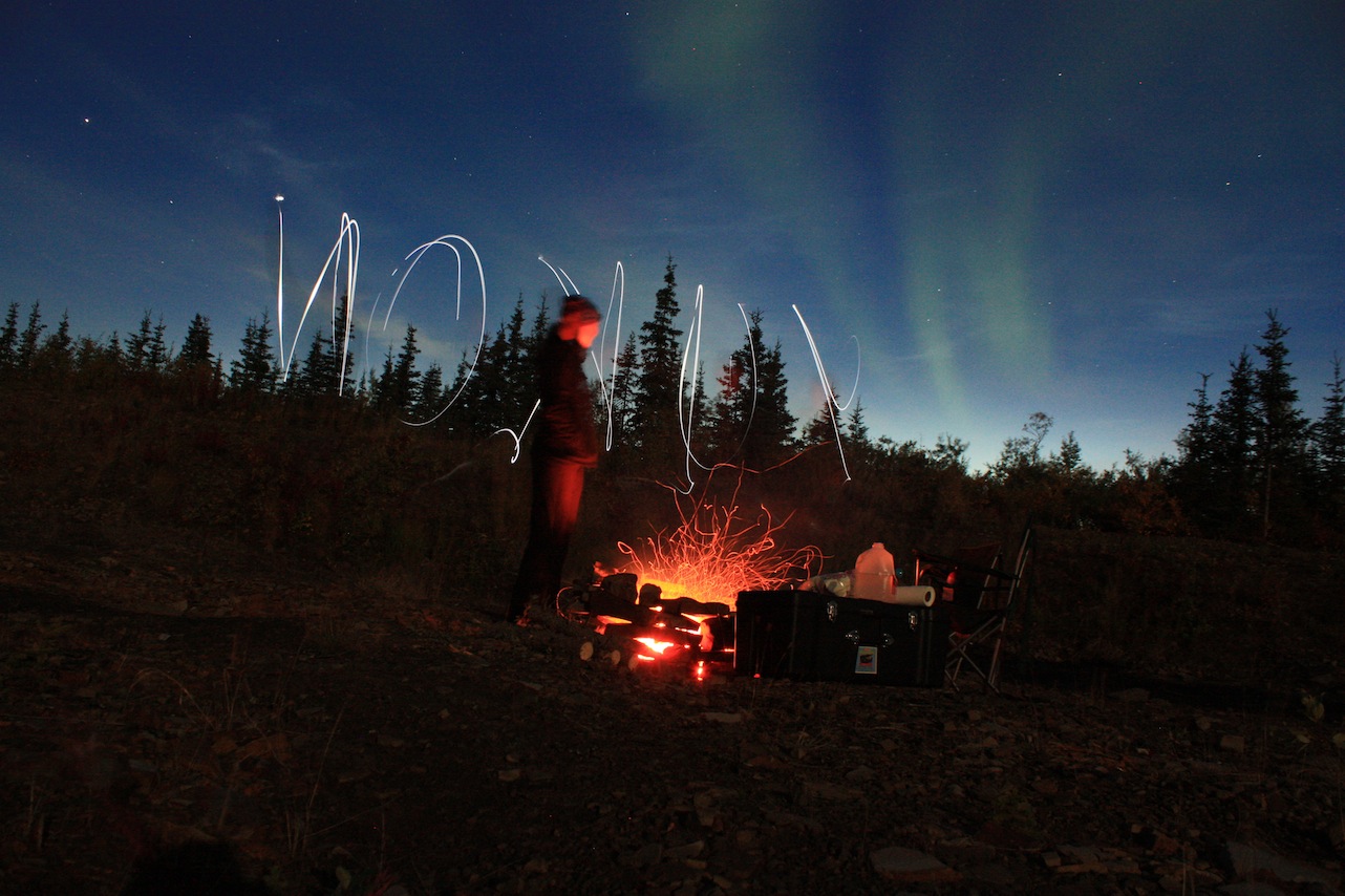
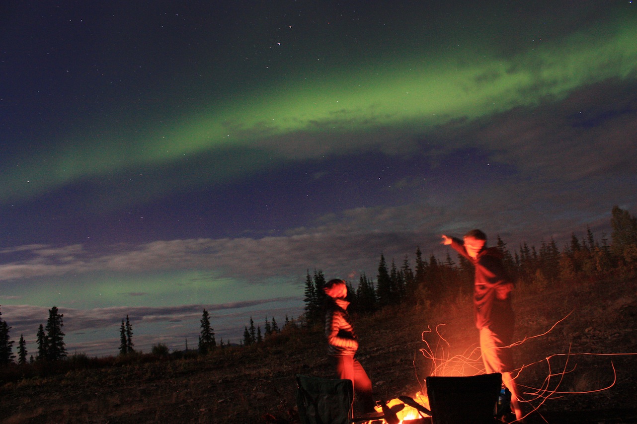
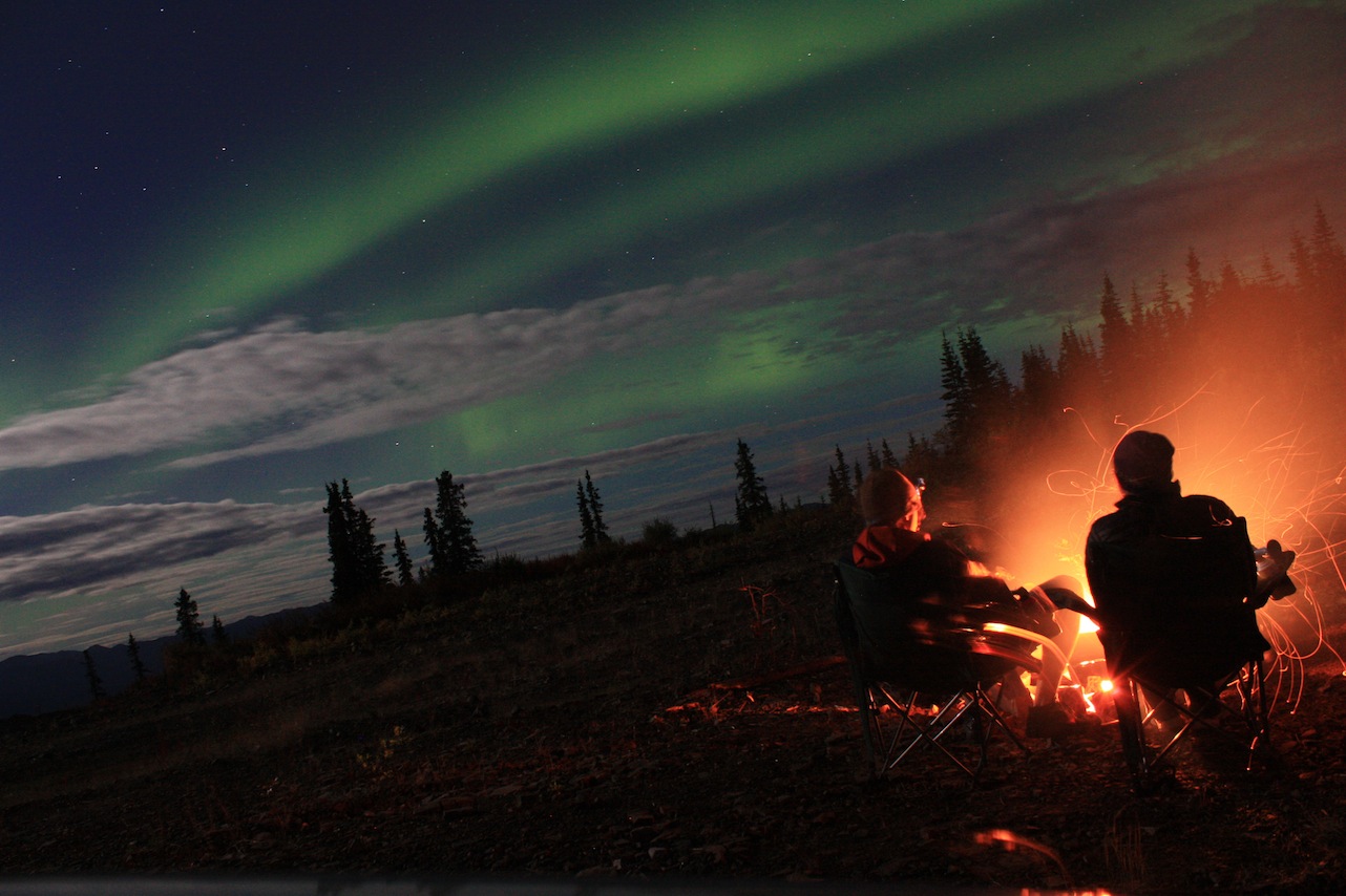
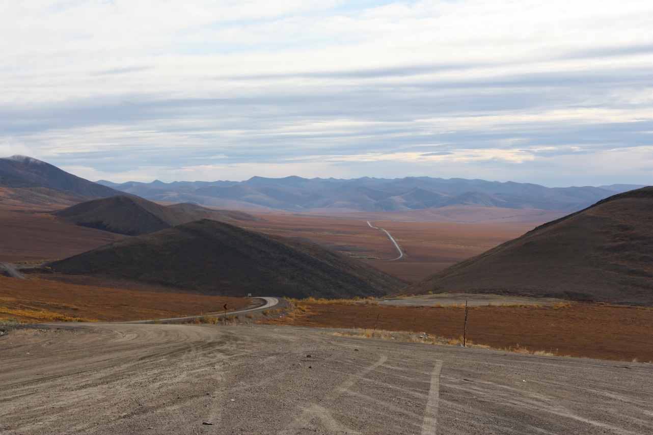
G had his heart set on getting to the Arctic Circle. I wasn’t as convinced about hundreds of miles of dirt roads. Originally we planned to drive the Dalton highway up to Prudhoe Bay in Alaska, but listened to several recommendations to take Yukon’s Dempster instead. It was the perfect time of year to do the drive. The fall colors in Tombstone Park were beautiful beyond words. We camped on a panoramic lookout point along the highway that night. Luckily, there were ample rock fire rings to choose from. After a beautiful sunset, G went to work cutting down a dead tree. We had ourselves a big fire and some lentils (G’s mother’s recipe – mmm). After some fun with giant marshmallows the sky was unexpectedly awash with the northern lights. Incredible.