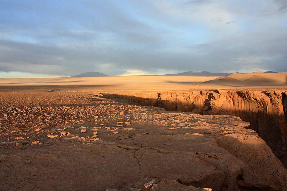
Coming off the high of Conguillo National Park, G and I were ready for the Carretera Austral (1,240 kilometers or 770 miles of one of the best road trips in the world) and some trekking in Cochamó valley purported as the Yosemite of Chile. That’s some big shoes to fill.

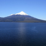
Getting to the beginning of the Carretera (officially in Puerto Montt) took us a couple of days to cruise south on the very well developed highway 5. The drive is not without its highlights, providing you with ample ogling opportunities in the form of crystal clear blue lakes and snow caped peaks.
-
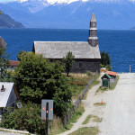
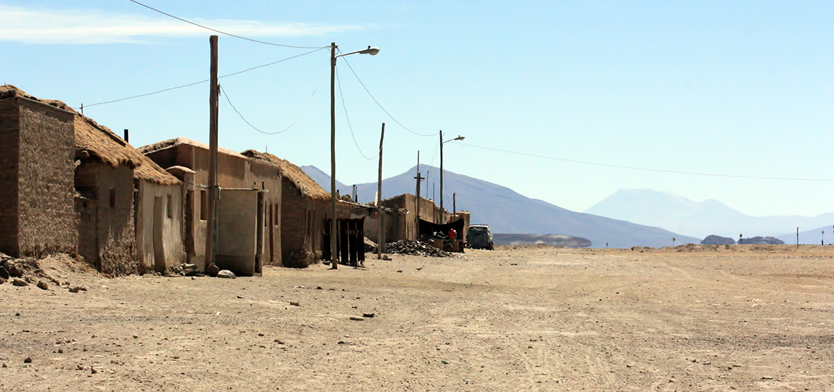
- Small village of Cochamó

-
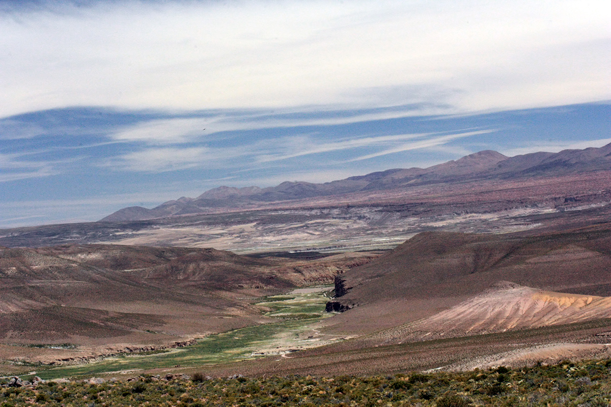
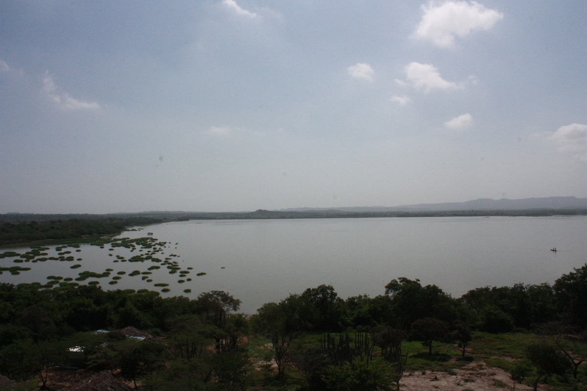
- View from Puerto Varas

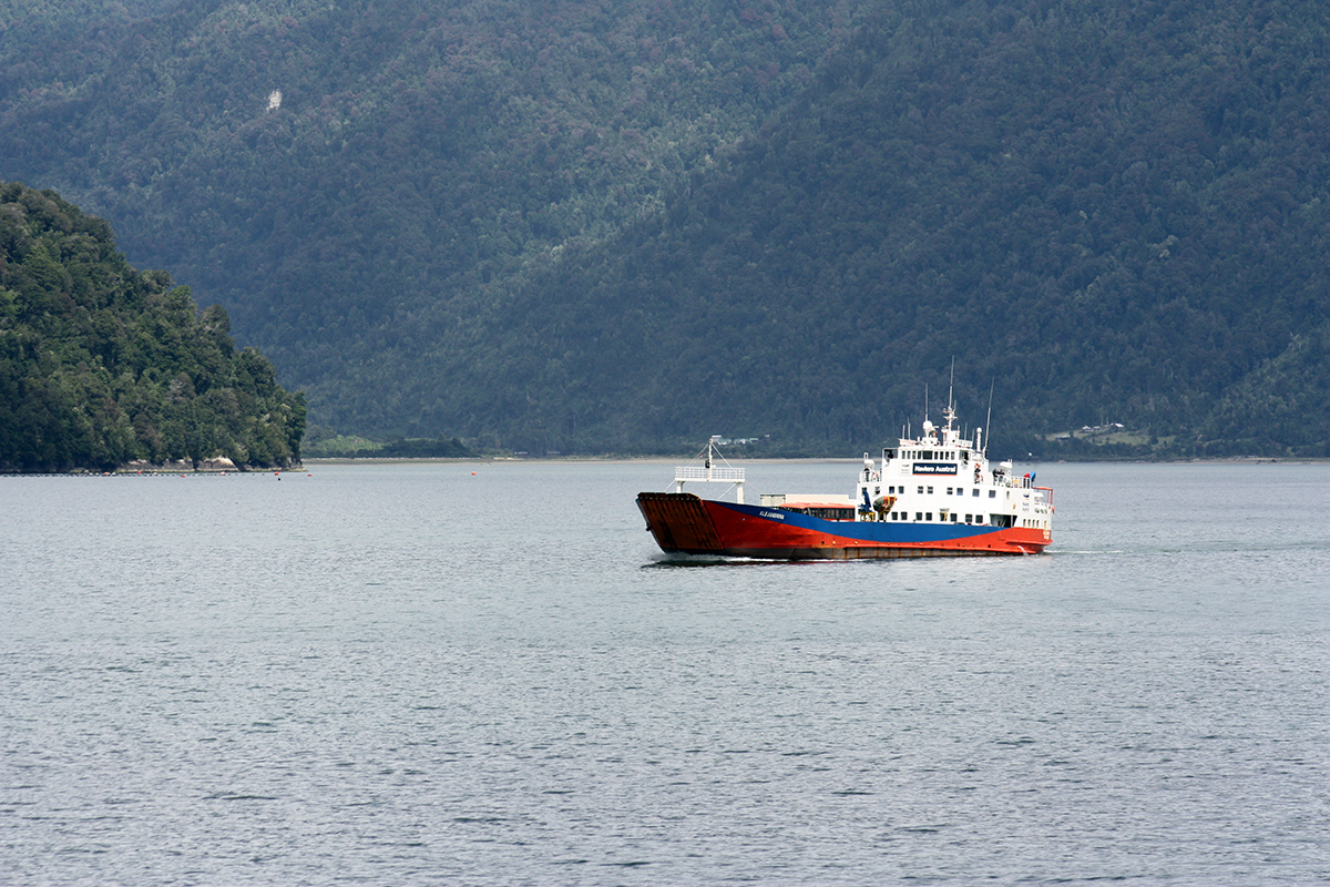
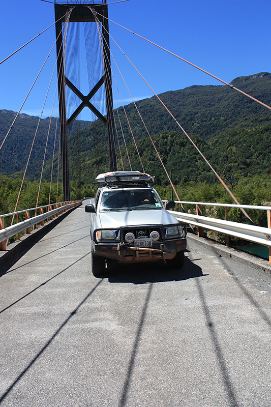
There are a few ways to make your way south on the Carretera. You can take a ferry from Puerto Montt to Chaitén, drive west onto the peninsula and take a ferry from Quellón to Chaitén, or you can cut east toward Cochamó and take two shot ferries from Hornopirén to Caleta Gonzalo. We chose the gorgeous eastern path that would take us past Cochamó valley and through Pumalín Park.
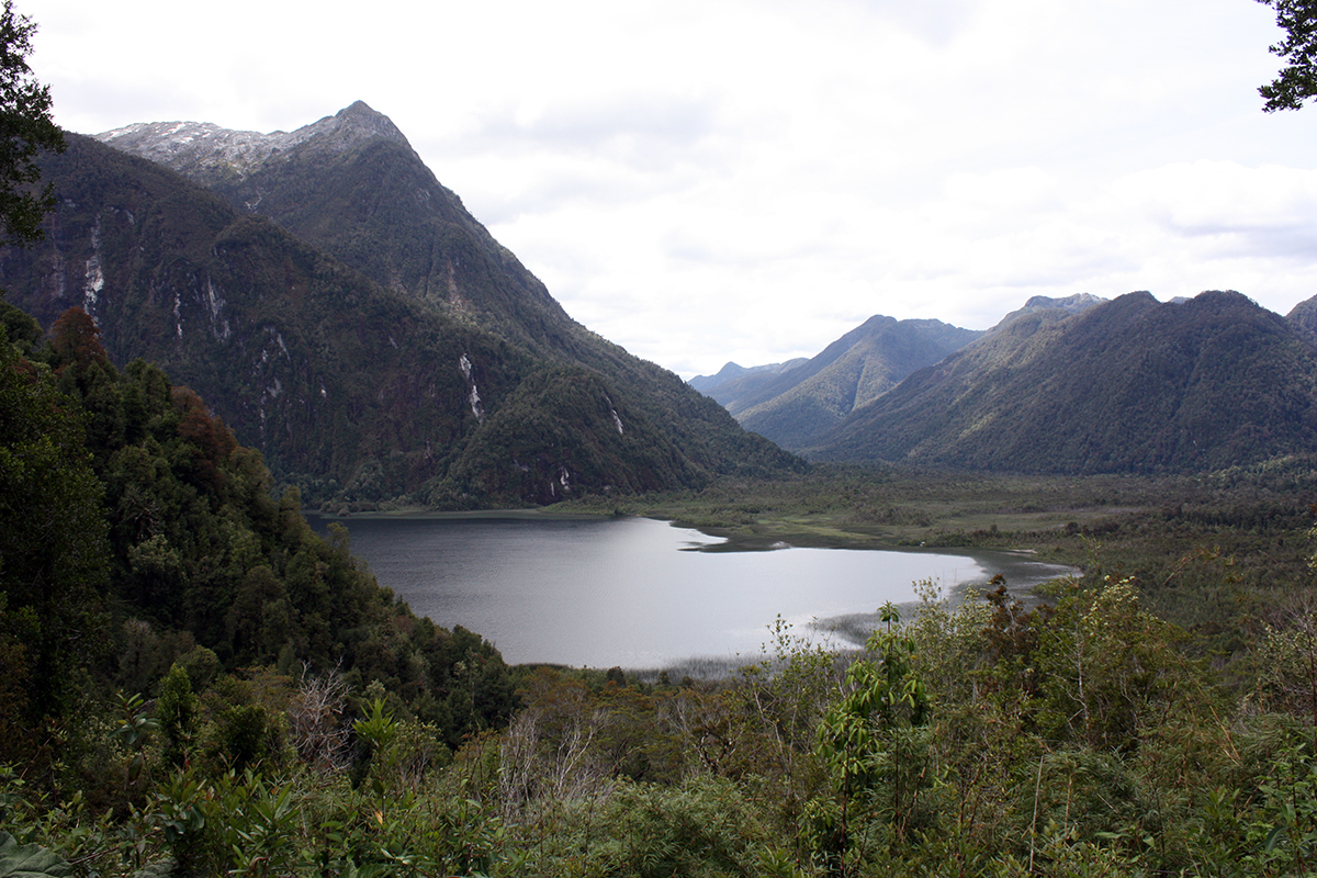
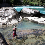
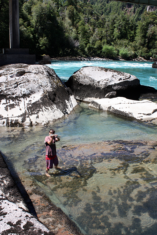
We got into Cochamó in the late afternoon. There was a 5 hour hike ahead of us to get from the parking lot to the first campsite, but we were working with extended summer hours and had light until 11pm. A tabano (really large horse fly) welcome committee greeted us at the trail head. These cumbersome flies buzz around waiting for their target to be distracted before landing for the kill. These suckers can bite you through clothing and will leave a giant welt in their wake. We were loosing our minds trying to get our backpacks packed. After an hour of torture, we were finally ready to set off on the trail. Soon the tabanos thinned out and we got into a rhythm.
The uneventful forest hike into the valley skirts the Cochamó river offering you distraction in the form of mud and ample donkey tracks. The end of the trail opens up to the floor of the stunning valley with peaks standing as sentinels around the wide valley floor.
There are a number of camping/sleeping options. The main campground was peppered with groups of hikers sprawled across the grass enjoying the rest and weather. A few groups were fully immersed in a guitar accompanied sing-song.
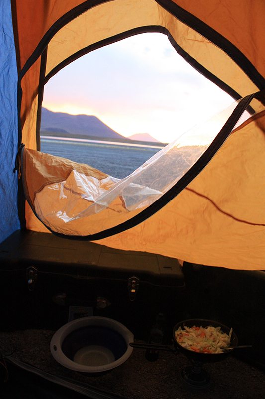
We opted for the main paid campsite not knowing you could camp for free across the river. I didn’t mind paying so much though, it was late and I wanted to get the tent up and crawl in.

-
- Making our way across the river to the refugio

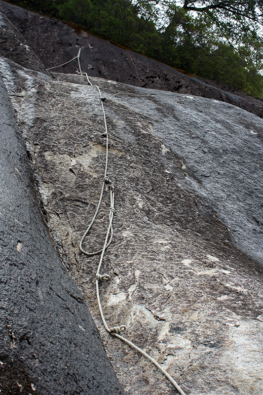
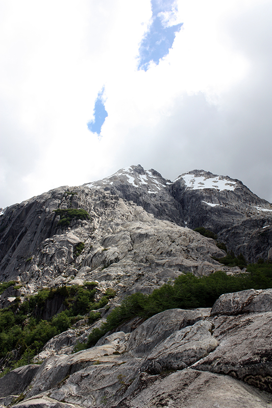
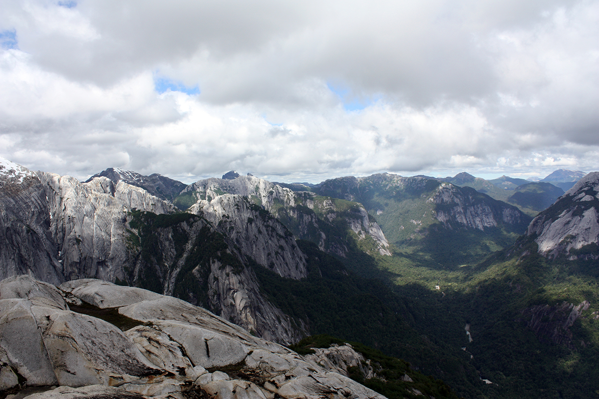
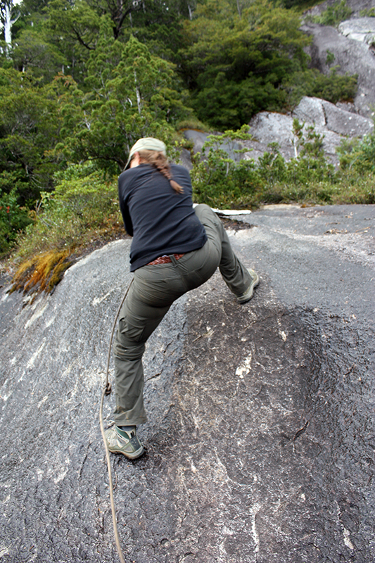
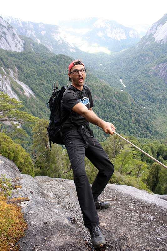
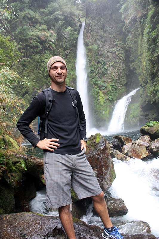
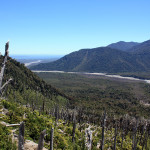
On day 2, we committed to Cerro Arco Iris. Allegedly, the Arco Iris mirador had the best valley views. The trail is not like the well graded trails you’ll find in the US (the unsafe trail conditions would never be permitted in the US). It is a simple task to describe the Arco Iris trail in a few words: roots, rock faces and up. We had to climb up a few really exposed faces with only a knotted rope. It was absolutely the most technical hike I’ve ever done. Finally at the mirador, we were rewarded with never ending views of the valley below. George was not appeased though. It took us another hour to scramble up just below the snow line for some more spectacular views.
The hike down was even more of a struggle with the steep grade. At one point, I found myself tumbling feet over ahead, stopped by a protruding log as my head smashed into it. No damage done though besides shaky legs and crushed confidence.


-

- It took us an hour to scramble up just below the snow line
-

- A long way down


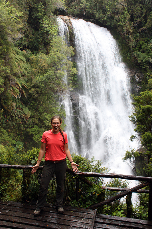
We took in the falls near the campsite on our last day before packing up and heading back to Vida.

-
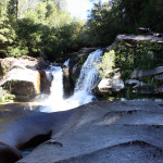
- Waterfall on Cochamó River

-
- Ready to make our way back to Vida

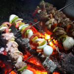
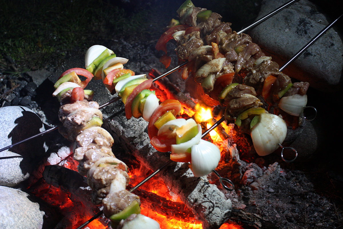
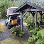
We found a choice rough camping spot along the river in Hornopirén while we waited for our ferry ride. George got some fishing and grilling in. He even sacrificed some grilling space to throw on a veggie kabob for me.
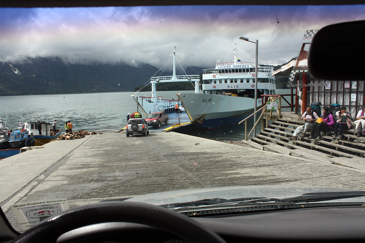
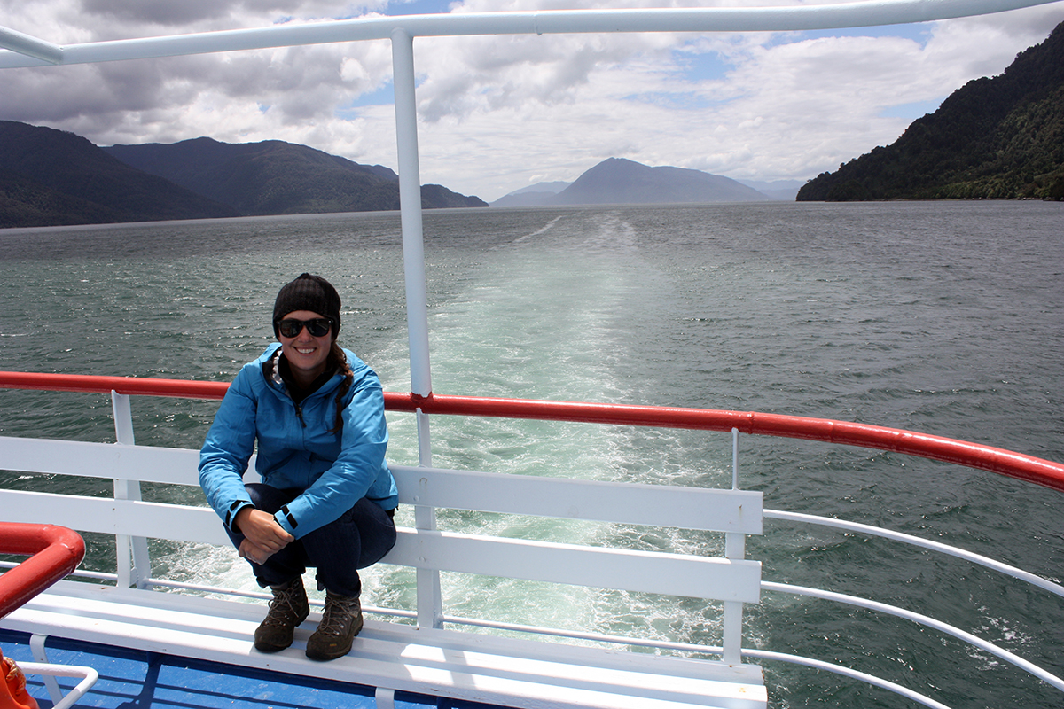
Ferry loading went predictably quickly (this was Chile) and we were off through Reñihué Fjord to Caleta Gonzalo.
Note: You can buy tickets at the dock in Hornopirén, but it’s more efficient to pick them up in Puerto Montt (weekdays only) before setting off…especially during high season.
-
- Yums on the fire … You see the odd one out of the bunch?
-
- Crazy eyes …


-
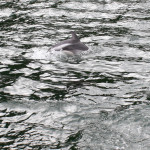
- Dolphins in the bay right before getting off the ferry.

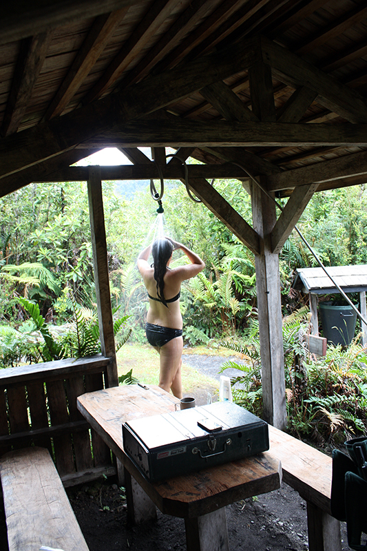
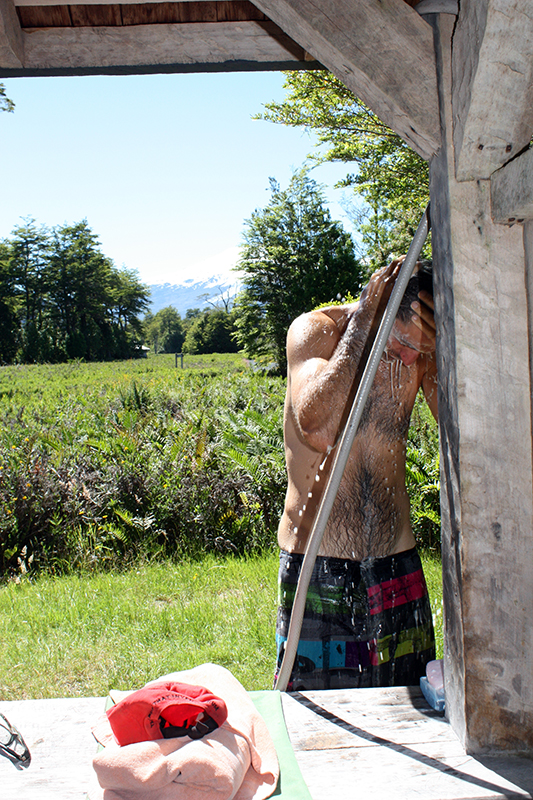
The ferry delivers you into the lush Pumalín Park. Pumalin is endowed by Douglas Tompkins who cofounded Northface. We spent our first night at Camping Cascadas Escondidas. I took advantage of the campground shelters to have a piping hot shower courtesy of Vida’s water tank. The following day we took in the very slippery Cascadas Escondidas (hidden waterfalls) trail that winds through an alerce forest (the sequoias of the south hemisphere). I managed to fall again, this time landing on my back. The confidence tank was nearing zero by this point.
We spent our next night at the breathtaking Camping El Volcán which is in striking distance to the hike taking you to the foot of Chaiten Volcano. The El Volcán campground was inudated with Tabanos as well. Breaking down in the morning, I threw my mesh sleeping bag sack over my head. Worked like a charm. George mocked me until realizing the brilliance of the maneuver. He quickly followed suit.
The hike up Chaiten was hot, steep and accompanied by a constant sworn of Tabanos. The views from the top more than made up for the tabanos though.
-
- Camping Cascadas Escondidas

-
- Hot shower in the open! Thanks Vida!
-

- Cascadas Escondidas
-
- This is an alerce tree similar to the sequoia trees in the Norther hemisphere in such they are the giants of the forests both by hight and width and by age. The alerces trees are considered endangered right now. The widest living alerce at the moment has 4.6m trunk and just 150 years ago Charles Darwin reported an alerce with 12.4m diameter trunk.


-
- The house before sun down.

-
- George’s turn for a hot shower.
-

- Yet another steam-fried potatoes dinner.

-
- Some of the devastation Chaiten left after it’s eruption in 2008. You can see the large river like trail of devastation left by a massive lahar.

-

- Vulcan Chaiten. The crater is still smoldering.

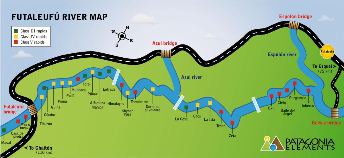
Leaving Pumalín Park, we made our way to Futaleufú. We couldn’t resist the urge to celebrate being on the Carretera with some beer of the same name.
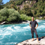
The drive to the Fu was stunning. It seemed to me that the water was getting bluer and clearer and the peaks crisper as we approached the Fu. Once on the banks of the river, it’s jaw-dropping how crystal clear the water is. We spent the first couple of nights at a campground just west of town along the river.


-
- Futaleufú River

-
- A giant roll of cheese rolling down the mountain.

-
- Whoa! Delicious lentil ‘meat’balls … Yum! Thanks Teresa 🙂
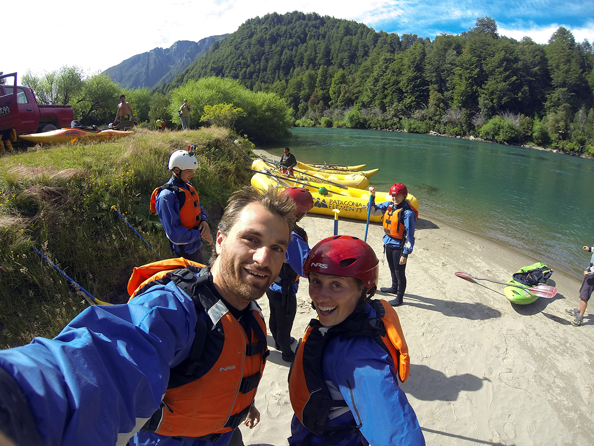
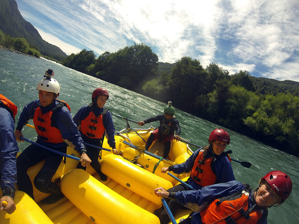
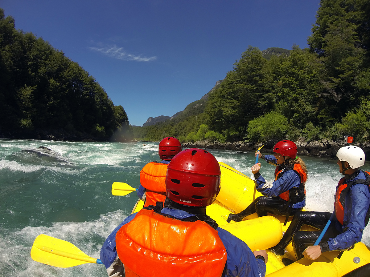
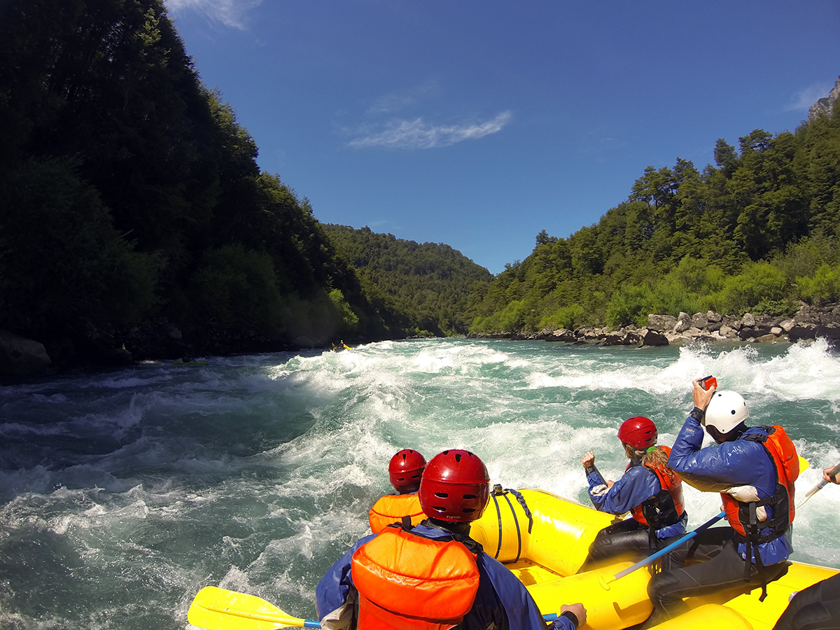
We met up again with Patagonia or Bust and Andamos de Vagos in the Fu. Since Aron and Linda had already tackled the Fu, Joe, Kylee, George and I were next. This was my first time white water rafting. I never did shake that feeling that the boat could flip over at any minute, but we had a fleet of rescue boats along with us, so the risk was minimal. I did relax enough to enjoy the rapids after the second one. Thanks to the folks at Patagonia Elements for an amazing day.
-
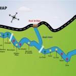
- We had a fantastic experience rafting with Patagonia Elements (www.patagoniaelements.com). We did the bridge to bridge section which includes the Mundaca class V and a few class IV rapids.
-
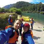
- Smiling but both somewhat actions to hit the bridge to bridge section of ‘the Fu’ – the Futaleufu river. We are both first time whitewater rafters about to do over Mundaca – a class V rapid.


-
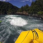
- A few class IV and one class V rapids made for an exciting day 🙂

-
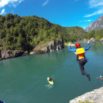
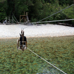
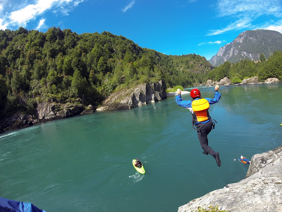
- Kyle cliff jumping in the river.

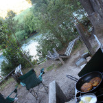
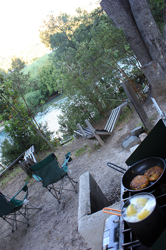
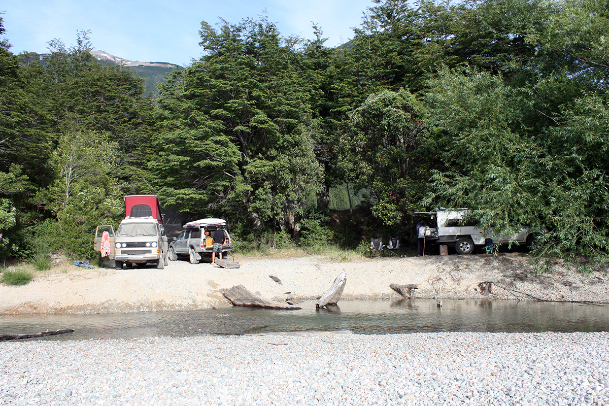
There are ample rough camping opportunities around the Fu. We snagged this spot by the river and feasted on dutch oven mac & cheese.
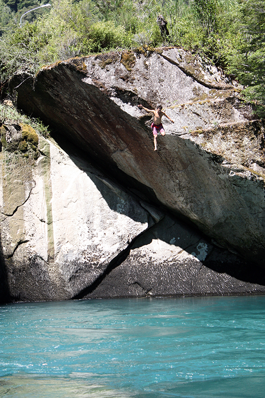
We couldn’t resist the draw of the blue water and sunny skies on our way out of town, taking the opportunity for some sunbathing and fishing. Aron needed to up the stakes by taking a leap of the rock wall above the river.
-
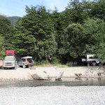
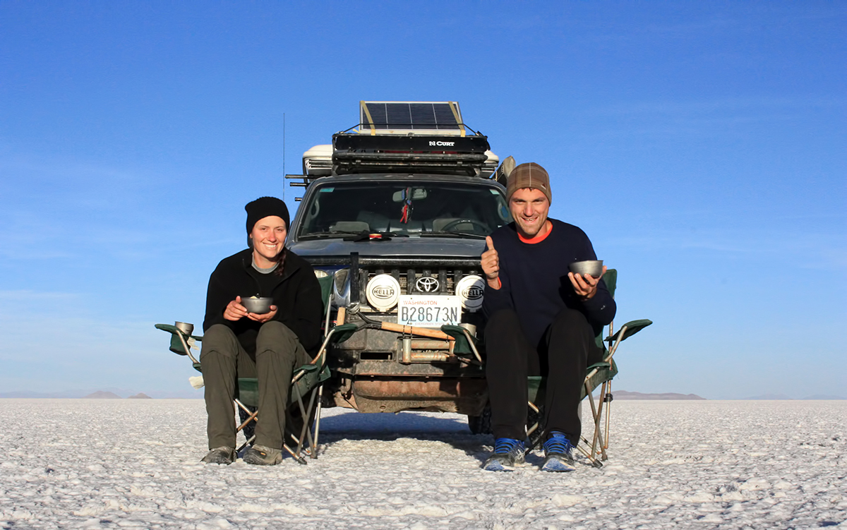
- Camp west coast – Washington, Oregon and California …

-
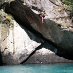
- Surrounded by class IV and V rapids Aron demonstrated perfect diving form and balls of steal. We concluded a mark of 9.5. Just half a point shy of perfect score for his hair being a little off while flying.
-
- Little fishy in my belly!

On our way further south along the Carretera, we had a chance encounter with Micki and Eric (Southern Tip Trip) making their way north. It’s a very small world.